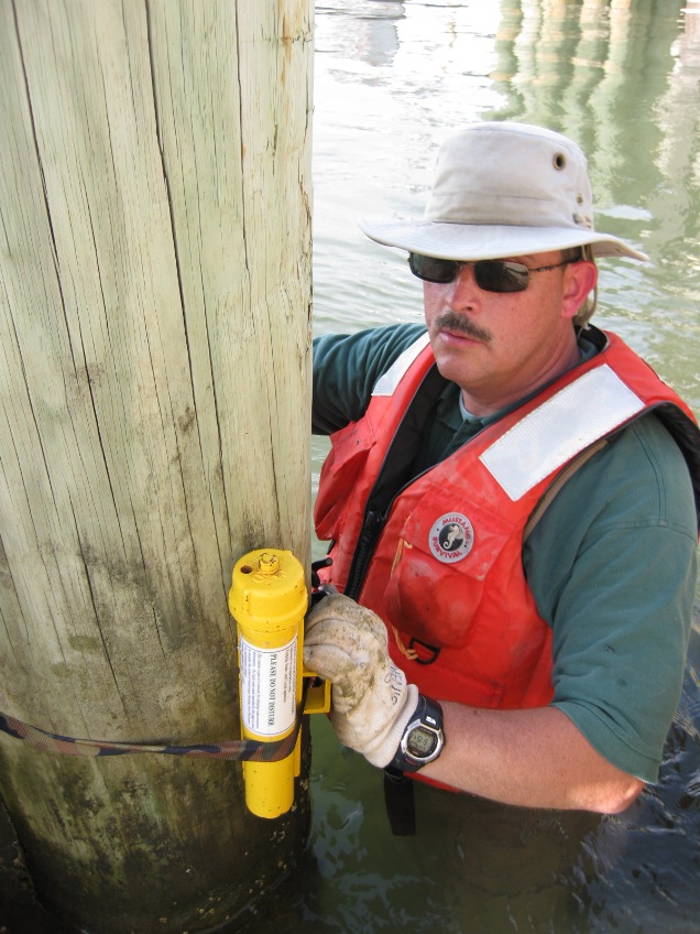
US Geological Survey based hurricane response crews have set up storm surge sensors at many key locations in the North Carolina coastal region. The installation was completed before Hurricane Irene reached the coast so that scientist could gather data on the depth, duration and time of arrival and retreat of storm surge.
 The USGS is making storm surge, streamflow, and water quality measurements related to hurricane floods and providing geospatial products of Hurricane Irene's movement and the storm aftermath.
The information collected by these sensors will aid the public officials in assessing the storm damage, discern between wind and flood damage and improve the computer models that will be used to forecast future floods as per a press release given out by the US Geological Survey.
Reporters can accompany the hurricane response crews as they retrieve the data from the storm surge sensors at different locations along the Atlantic coast. Points of contact include North Carolina, Virginia, New Jersey and New York.
Rapid deployment gauges were also installed along critical roadways to forecast floods and coordinate flood-response activities. Information will also be used in future storm modelling and prediction, as well as for improved structure designs and public safety response, according to the release from the US Geological Survey.