 Image Credit: NASA Armstrong
NASA's Jet Propulsion Laboratory in California has developed a sophisticated radar system for aero-survey of the quake area in the Napa Valley.
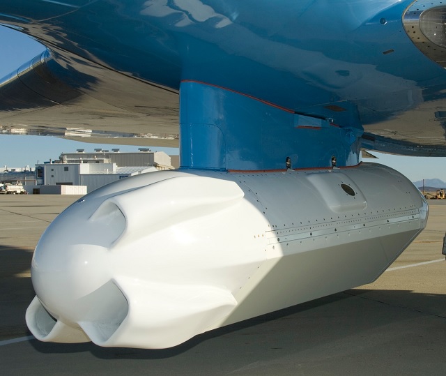
On 24th August 2014, the Napa Valley area experienced an earthquake of magnitude 6.0. The area suffered extensive damage although no deaths have been reported. On 29th August, JPL's Uninhabited Aerial Vehicle Synthetic Aperture Radar (UAVSAR) was mounted on a C-20A aircraft and flew over the area to collect data for five hours.
The UAVSAR has flown over the same area previously to collect data. The newly acquired data is to be compared with the historical data in order to ascertain whether any displacement along fault lines has taken place.
NASA Armstrong engineers have developed a Precision Platform Autopilot that would help in comparison of the data. The sophisticated UAVSAR radar is highly sensitive and is capable of measuring movements that are even less than a centimeter even from an altitude of 12,500m.
The deputy director of NASA's Airborne Science Program, Randal Albertson, stated that the data from the new mission will enable JPL scientists to study Northern California faults. It would also aid them in studying how the critical levee system had been affected by the earthquake, and the impact on ground water and potential drought implications.
The acquisition of the data soon after the earthquake will help differentiate between the events that occurred after the quake and those that occurred during the quake. This will also aid in predicting aftershocks.